
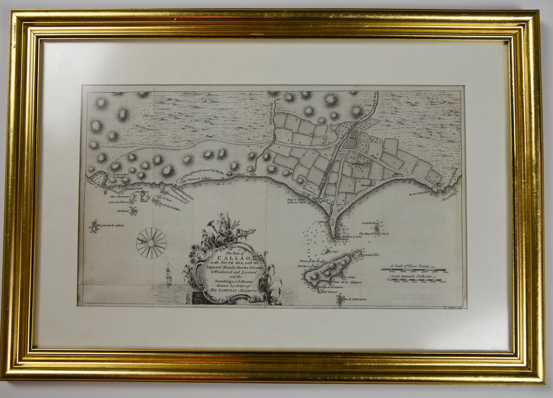
THE PORT OF CALLAO, IN THE SOUTH SEA; WITH THE ADJACENT ISLANDS, ROCKS & COASTS
c. 1760. A map of the Peruvian port city of Callao, prepared by the English cartographer Thomas Jeffreys (c. 1719-1771), who was the geographer to George III. This map was originally published in a magazine, which has resulted in several folds (none of which show significant evidence of wear). Light age toning and some surface soiling in the left hand margin. Matted and framed, not examined out of frame. Map dimesions 14.5" x 8.5". Framed dimensions w 20 in x h 14 in.
1328558
Arts & Antiques
Sold
See all items in
Arts & Antiques Store,
Maps
See all items by Thomas Jeffreys