

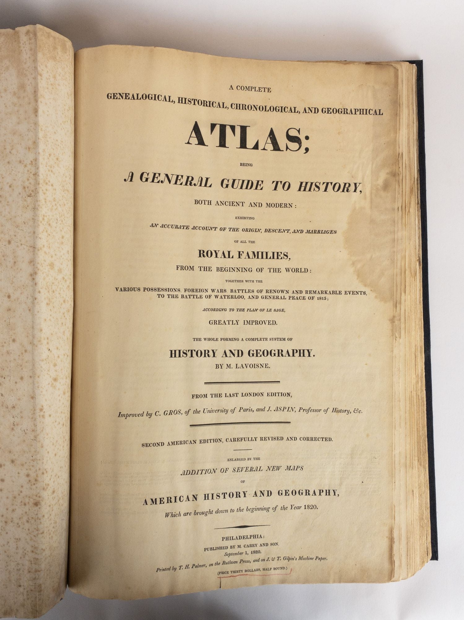
A COMPLETE GENEALOGICAL, HISTORICAL, CHRONOLOGICAL, AND GEOGRAPHICAL ATLAS
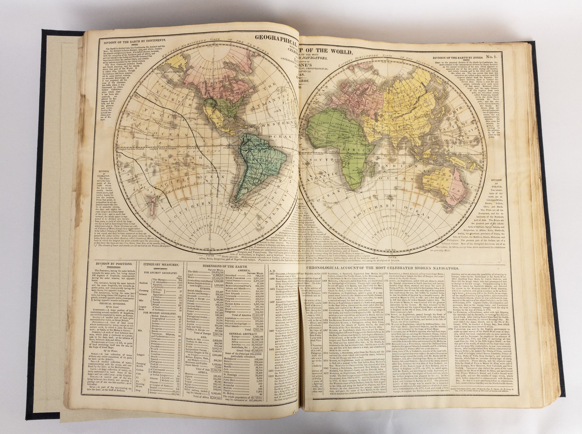
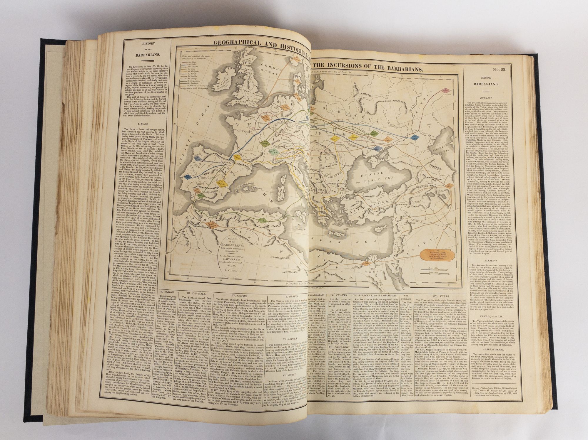
Philadelphia: M. Carey and Son, 1820. Second American Edition. Folio, [5] leaves, 71 double-page plates. In Very Good minus condition. Newly rebound in quarter black leather, dark blue cloth boards, paneled spine with green label, and gilt titling. Plate 42 has large closed tear. Complete with all 28 double-page maps plus charts on 71 double-page plates. Dampstaining to the fore edge, primarily to ffep and title page with some staining to plates. Shelved above case 2.
1363196
Shelved Dupont Bookstore
Sold
NOTES
The John Melish United States map uses information from the Lewis and Clark expedition to show the Missouri River and the headwaters of the Columbia River as well as the new state of Missouri.
See all items in
Dupont Circle,
Travel, Exploration, & Geography,
Maps & Cartography,
US History,
US Regional: West & South-West
See all items by M. Lavoisne