

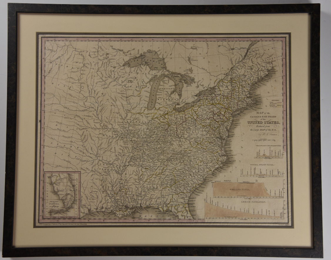
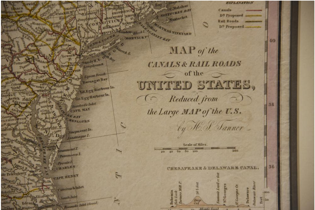
Canals and Railroads of the United States, 1830
A map of the eastern half of the United States by American cartographer Henry Schenck Tanner (1786-1858), published in 1830. The map highlights existing and proposed canals and railroads, and also reflects state and territory borders and rivers. Condition: Very Good. Age toning, several creases on left half. Double matted and framed; not examined out of frame.
Dimensions w 28 3/8 in x h 22 7/8 in.
1329349
Arts & Antiques
Sold
See all items in
Arts & Antiques Store,
Maps
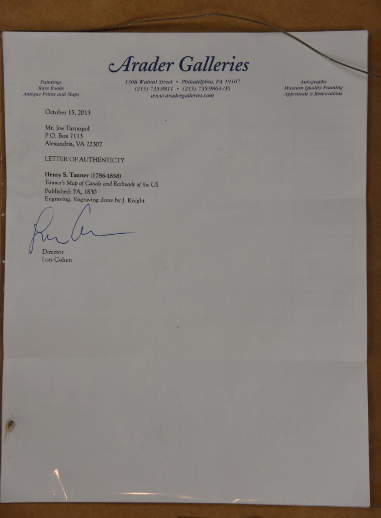
See all items by Henry Schenck Tanner