
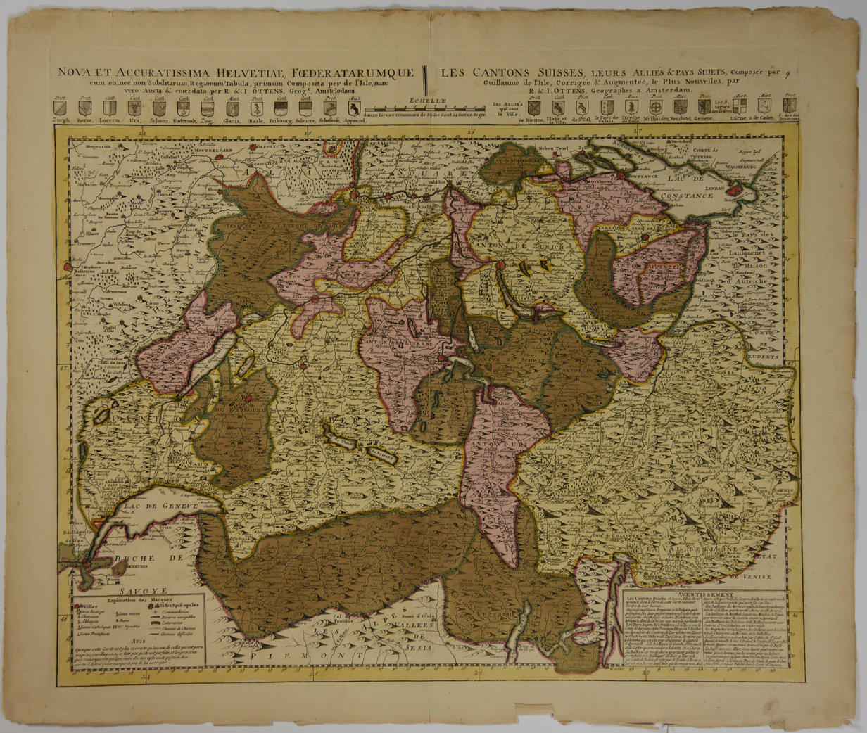
Map of Switzerland, c. 1730
R. and J. Ottens, c. 1730. A map of Switzerland, with cantons delineated, created by the Dutch publishers R. and J. Ottens, c. 1730. Condition: Good. Some age toning, minor chips and closed tears to margins, and a patch of water damage to top margin. Dimensions w 26.5 in x h 22.5 in.
1328601
Arts & Antiques
Sold
See all items by Ottens